
Infrastructure Inspection
Detailed aerial inspection of high-voltage transmission lines, towers, and substations.
Our Solution
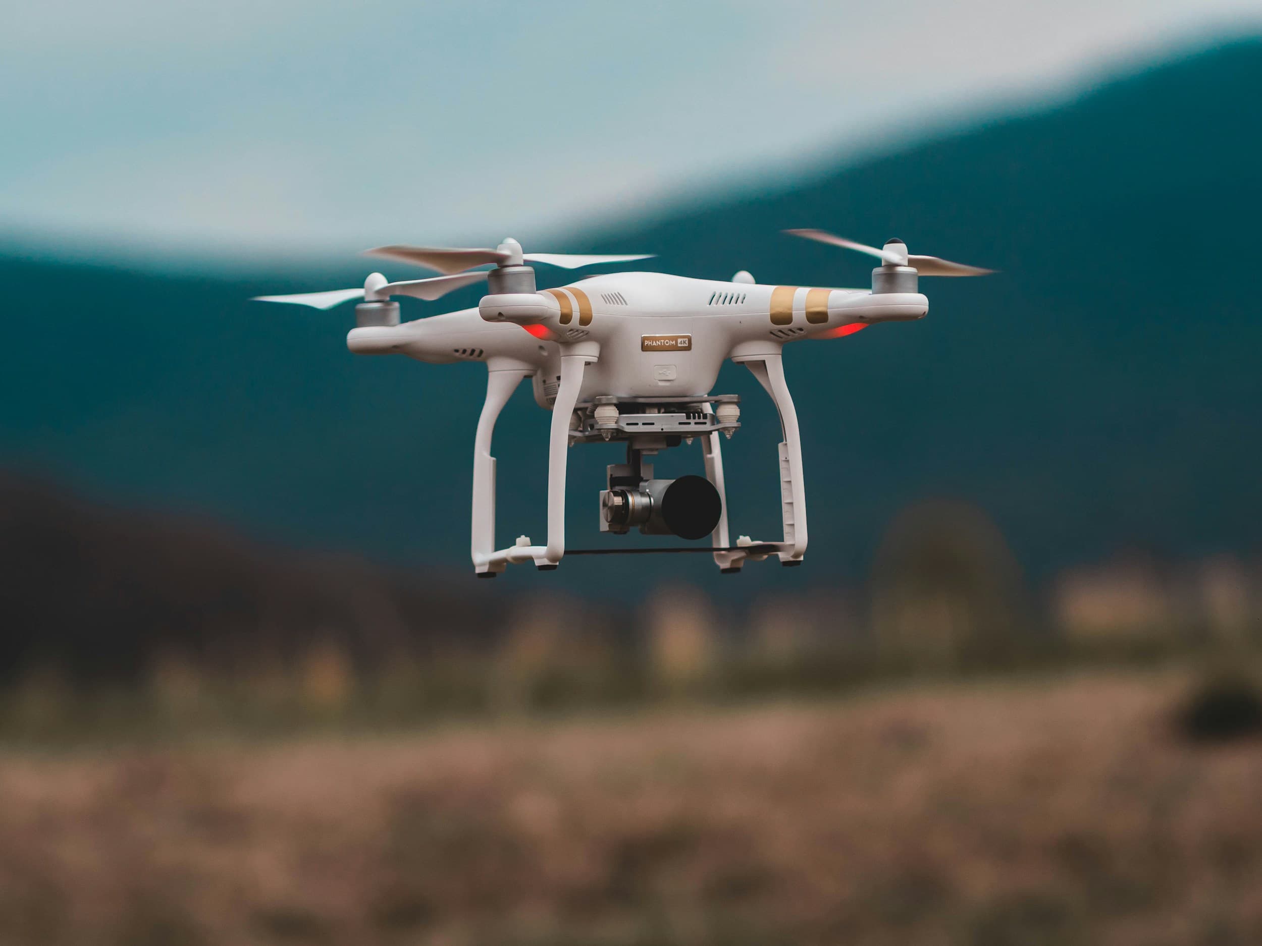
Advanced drone technology for inspection, monitoring, mapping, and industrial operations across critical infrastructure.
Overview
Iradat delivers advanced drone-based solutions for inspection, surveying, and monitoring across power, utility, and industrial infrastructure.
Using DJI Enterprise platforms and specialized sensors, our teams capture high-precision data that improves safety, reduces downtime, and accelerates decision-making.

Detailed aerial inspection of high-voltage transmission lines, towers, and substations.
High-precision terrain and asset mapping using LiDAR-equipped drones.
Construction monitoring, progress documentation, and orthomosaic GIS mapping.
Routine inspection, condition assessment, and preventive maintenance support.

Contact Us
Our technical specialists can help identify the right product based on your application, voltage level, and project requirements.